Srinagar, Jan 26: A fresh Western Disturbance is expected to affect Jammu and Kashmir from Monday evening, bringing rain and snowfall to the region, with moderate to heavy snow likely in higher reaches.
Independent weather forecaster Faizan Arif told Kashmir News Service that the system “is not very strong, but active enough to bring moderate to locally heavy snowfall at higher elevations.”


He added that while snowfall is possible in the plains as precipitation begins overnight, “the probability of significant snow accumulation across most plains remains low.”
Moderate or heavy accumulation in low-lying areas would largely depend on the occurrence of ‘dry snow’ during the night. “If temperatures hover around 3–4°C, accumulation will be limited or unlikely,” Arif said.
Currently, the probability of snowfall in the plains is around 50 per cent, with chances of decent accumulation pegged at 30–40 per cent. Region-wise, the likelihood of dry snow is estimated at 30–40 per cent for the plains of north and central Kashmir, while areas like Shopian and Kulgam, particularly those near the Pir Panjal range, have a higher chance—around 60–70 per cent—of receiving dry snow and better accumulations.
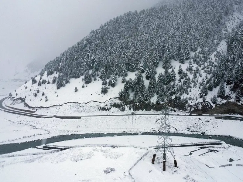
The Chenab Valley, Poonch district, and the Qazigund-Banihal stretch are also likely to witness snowfall, while other areas may experience mainly rain. Strong winds are not expected to be a major feature of this system.
This marks the second active weather spell within a week during the intense winter period of Chillai Kalan. The Kashmir Valley had seen heavy snowfall last Friday, ending a prolonged dry spell. That previous snowfall, followed by a windstorm, had disrupted normal life. The administration has been working to clear roads and restore power infrastructure affected by the last weather event. (Agencies)